
Zoning bylaws divide the city into different types of land uses, such as residential, commercial and industrial. Victoria’s zoning bylaws regulate what uses are permitted, the type and size of buildings and structures that may be constructed, minimum lot sizes, landscaping requirements and off-street parking for vehicles and bicycles. The bylaws include regulations and maps that show what zone applies to each parcel of land.
Zoning Bylaw 2018 regulates the Downtown Core Area and most of the commercial and low-density residential properties within Victoria.
The Zoning Regulation Bylaw has been in place since 1981 and applies to most industrial properties, medium- to high-density residential properties outside of the downtown, comprehensive development districts and some commercial properties.
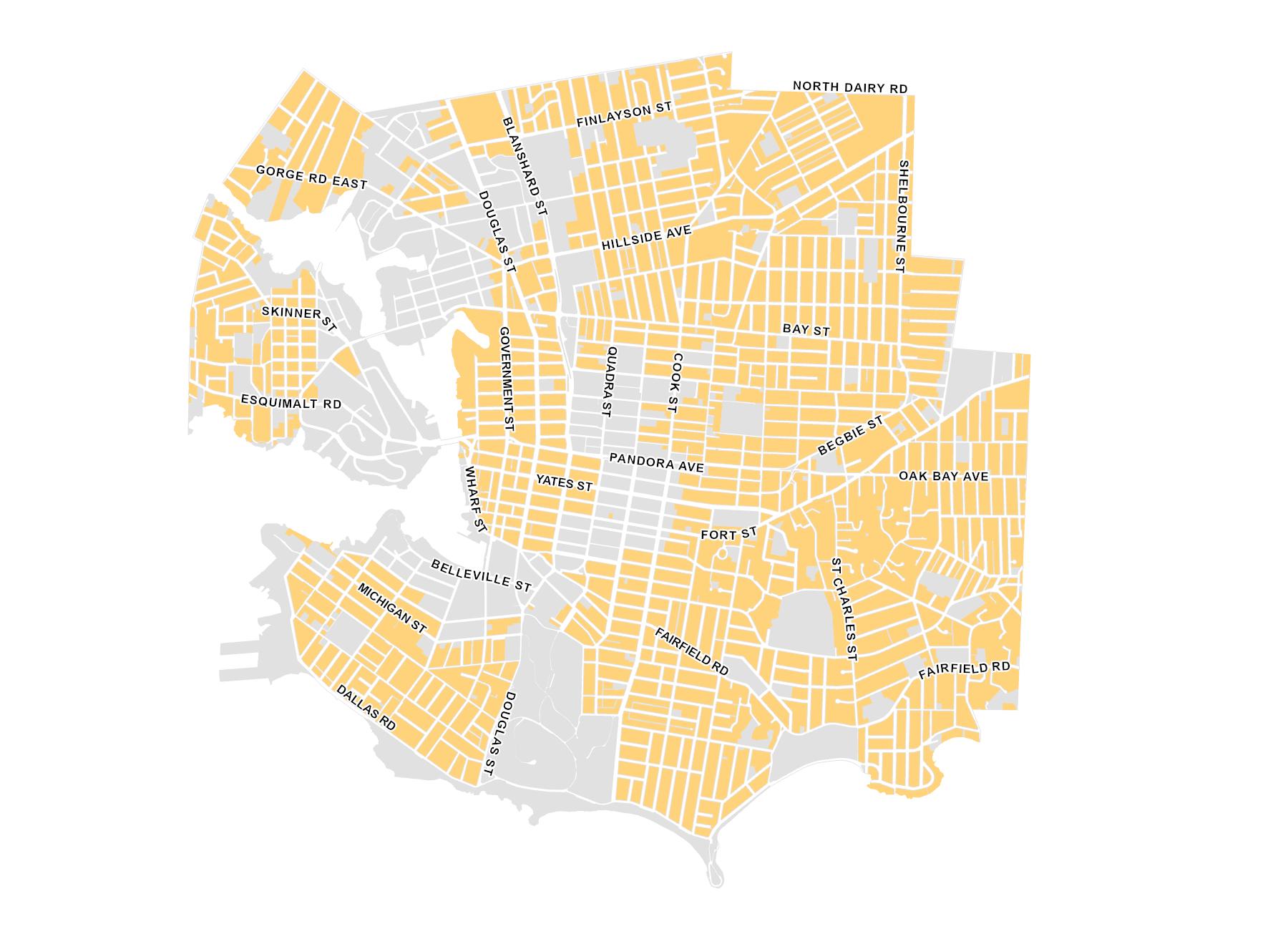
The revised Zoning Bylaw 2018 applies to areas shown in Map 1, including parts of the Downtown, Town Centres, Urban Villages and Residential Fabric areas. Other parts of the City continue to be regulated by the Zoning Regulation Bylaw.
Modernization of the Zoning Regulation Bylaw is expected to be completed in the coming years, at which point it will be integrated fully into Zoning Bylaw 2018.

Zoning Regulation Bylaw

Zoning Bylaw 2018
You can find zoning information on VicMap. Click on a property or choose the Planning and Development theme under the Show Layers and Themes menu.