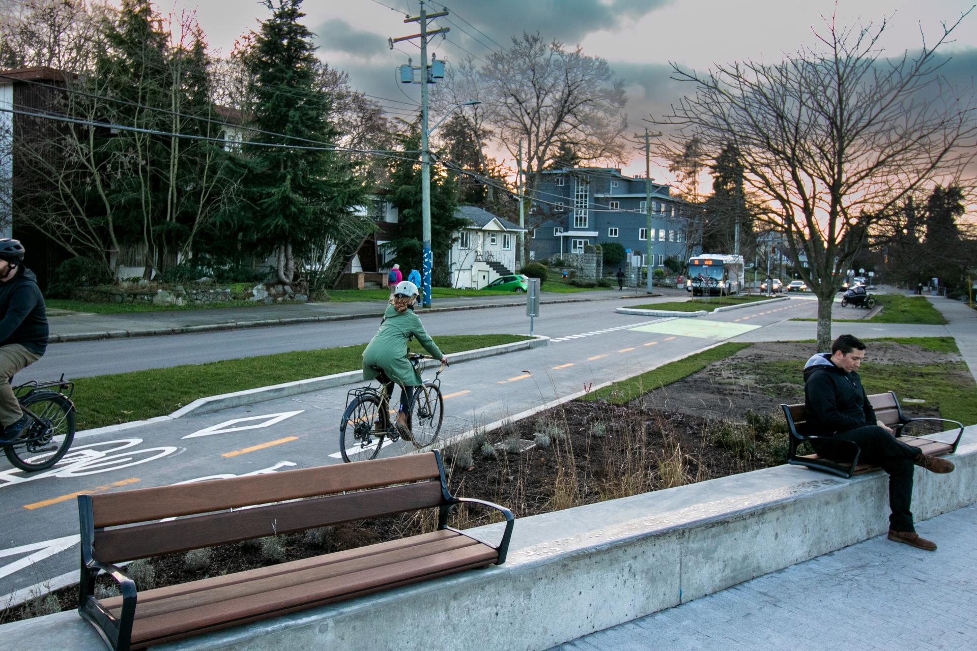
The City is building a network of bike routes that are comfortable for All Ages and Abilities (AAA). AAA bike routes increase safety, reduce serious traffic injuries and fatalities, improve access to key destinations and encourage a broader range of people to bike more often. With over 40 km of AAA bike routes already in place, the City continues to expand the network to improve access and convenience.
Improvements to the City's cycling network often take place as part of broader street upgrades that aim to improve safety for everyone. You can learn about upcoming street upgrades under Major Projects or you can subscribe to the Go Victoria newsletter for regular updates.
Planning Your Route
Finding your way around on a bike or other active transportation device can sometimes be challenging, especially as traditional navigation apps (e.g., Google maps) don't always choose the safest, most comfortable route. Our recommendations for the most accurate tools using our cycling network are ones that use OpenStreetMap. These include popular cycling apps like Komoot and RidewithGPS. Apple Maps has also been recently updated for Victoria.
The resources below can help you get familiar with our network and plan routes that work for you.
If you would like additional support in finding safe, comfortable bike routes near you, email eng@victoria.ca.
Types of Cycling Facilities
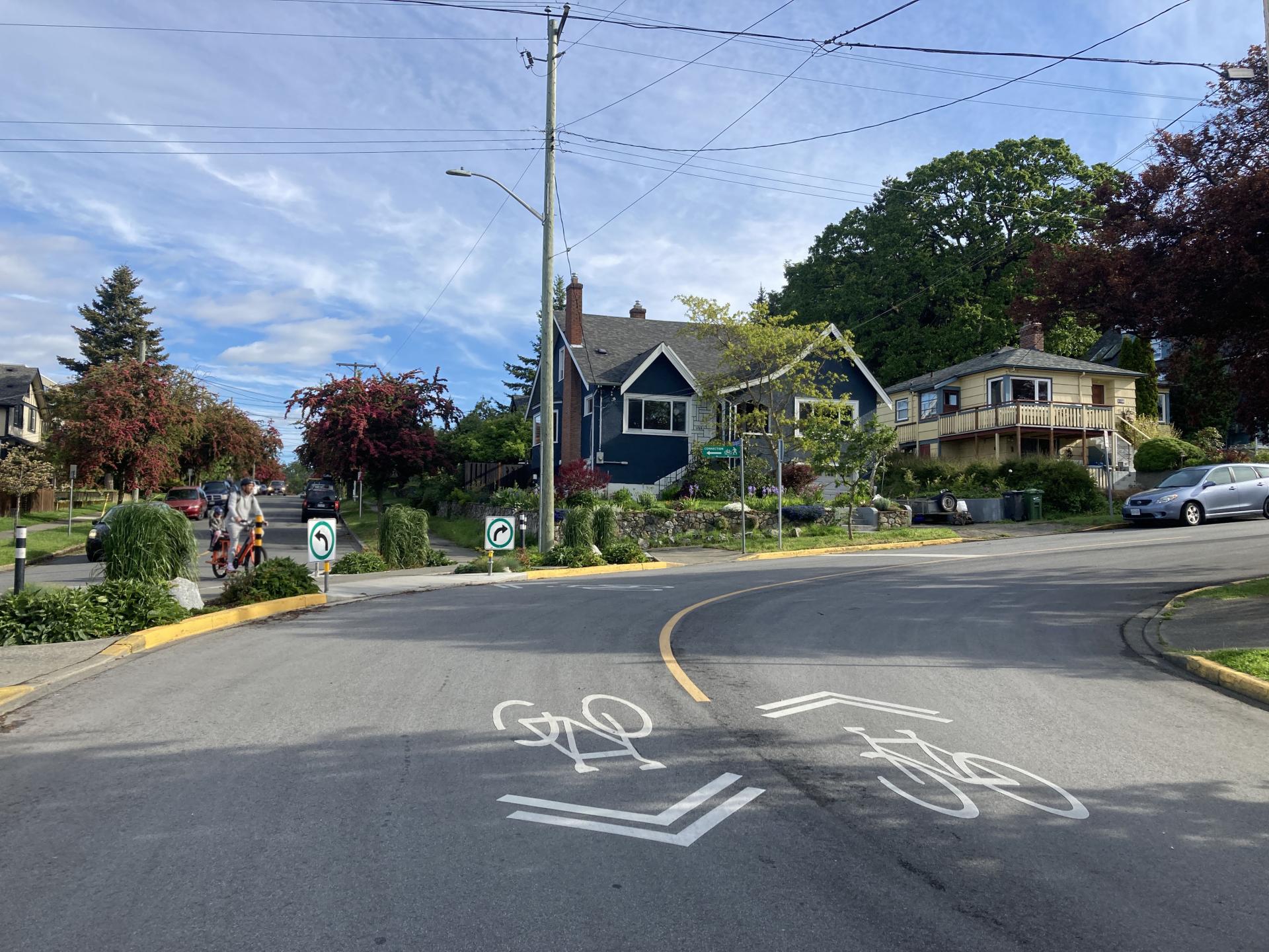
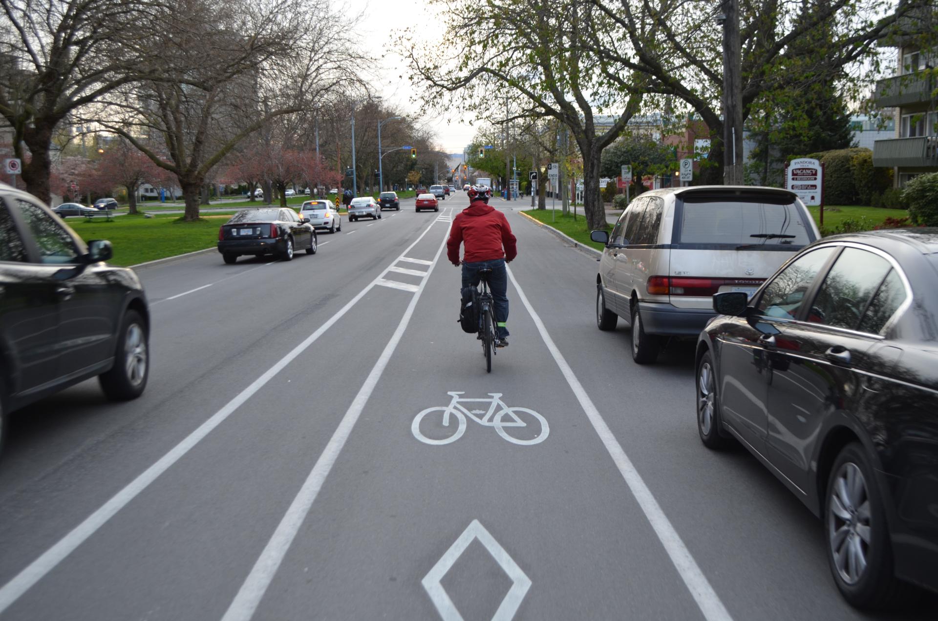
See below for more information on the types of cycling facilities (or bike routes) you might see on Victoria's roads, as well as a map of all existing facilities.